Air conditioning in Calne
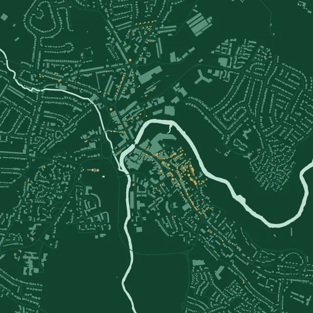
Yes. Calne’s centre is a conservation area, with 163 list entries in a 2 km square around the Town Hall, and its 1993 Article 4 direction covers a list of named houses. Even there it doesn’t touch the heat pump right, which didn’t exist until 2011. Wiltshire Council decides, and we check your building before we quote.
At a glance
- Who decides
- Wiltshire Council.
- Conservation area
- Calne: about 35 hectares, from The Green and Church Street to the old Harris site, extended in 2000.
- Article 4
- One direction, for named houses only: extensions, roofs, porches and painting, and outbuildings in Quarr Barton.
163
entries on the National Heritage List in this 2 km square: 1 at Grade I, 13 at Grade II* and 149 at Grade II, among 3,609 buildings. One entry can cover a whole row.
The old town stands on Coral Rag, a sandy limestone, above the River Marden. Limestone rubble and ashlar, often rendered or painted, with Bath stone in the late Victorian villas.
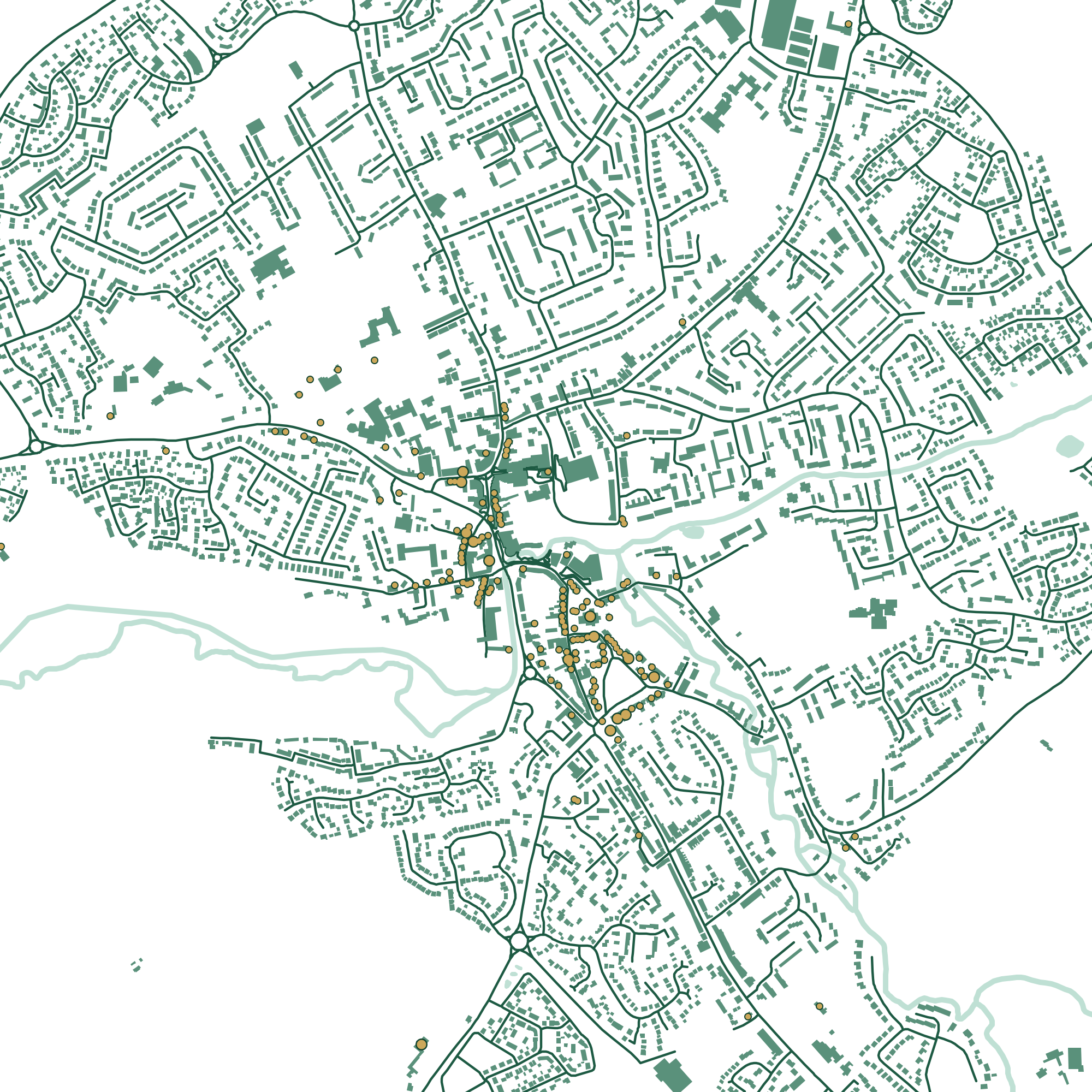
Press a number to find a building.
A nave of about 1160 to 1170, the tower rebuilt about 1638. Limestone ashlar and rubble. Calne’s only Grade I entry. List entry
About 1682. Limewashed limestone rubble under stone slate, with stone-mullioned windows. List entry
Once the Catherine Wheel coaching inn. 17th century, refronted early in the 18th, in painted limestone rubble. List entry
16th century, refronted in 1758. Joseph Priestley lived here from about 1772 to 1779, and discovered oxygen in 1774. List entry
A cloth mill of 1858 in squared limestone under slate, once water-powered, converted about 1980. List entry
Our count and drawing, 20 November 2026. Buildings, roads and water © OpenStreetMap contributors. Contains Historic England data © Historic England, Open Government Licence.
The conservation area
It was first designated in 1973 around Church Street and The Green, merged with a second area around Castle Street in 1987, and extended in 2000. It took in the cleared site of the Harris bacon factory, which closed in 1983 with 2,000 jobs lost and left a gap in the middle of the town. 147 of the parish’s 178 list entries are inside it.
Its Article 4 direction, ART/93/0002, covers named houses in Anchor Road, Castle Street, Church Street, Curzon Street, Mill Street, New Road, North Street, Quarr Barton, The Green and Wood Street. On those, extensions, roof alterations, porches and exterior painting need permission. It was made in 1993, long before the national right for heat pumps began on 1 December 2011, so that right isn’t among them. Whether a bracket, a pipe hole or repainting around them falls under one of those is a question we put to the council.
If your house is listed, plan on listed building consent, for work inside as well as out. Where permission is needed only because of an Article 4 direction, Wiltshire Council charges no application fee.
By the Marden
The River Marden runs through the middle of the town. On the Environment Agency’s flood map, Calne Mill stands in flood zones 2 and 3, and the Town Hall and the Lansdowne Arms in zone 2, while St Mary’s, the almshouses and Priestley’s House are in neither. We check your address on the flood map before we choose where an outdoor unit stands.
Calne grew fast in the late 1990s and 2000s, and the Lansdowne Park development, finished in 2007, enlarged it a good deal; most recent building is to the east, along Oxford Road and Sand Pit Road. On a newer house the ordinary limits apply, with the 37 dB noise test at the neighbour’s window.
Porte Marsh Industrial Estate, on the north side of the town, is the main employment area. There’s no national planning right for units on business premises. More for businesses. The North Wessex Downs National Landscape begins about 2 km away, and being in it wouldn’t by itself change the right for a house.
Your own building
Check it in three steps.
Almost everything above turns on two questions: is it listed, and is it in a conservation area? Both answers are public. Or leave it to us.
- 1
Is it listed?
Search Historic England’s National Heritage List by name or address. A listing covers the whole building, inside and out.
Search the List - 2
A conservation area, or an Article 4 direction?
The government’s planning data map shows both by postcode. It says its data may not yet be complete, so we check with the council as well.
Conservation areasArticle 4 directionsCalne Conservation AreaArticle 4 direction area, Calne
- 3
Or leave it to us
We look both up before we quote, and tell you what they mean for where the unit can go.
See my price
How hot, how cold
We couldn’t find a long-term Met Office page for Calne itself. These are from Lyneham, about 7 km to the north.
- 21.5°
- average July high at Lyneham, 1991 to 2020
- 1.7°
- average January low at Lyneham
- 34.7°
- at Lyneham on 19 July 2022, the day of the UK’s record
The 2022 figure is from the US government’s NOAA daily summary of the station’s own reports, not a Met Office publication.
Questions
Asked in Calne
Does Calne’s Article 4 direction stop me fitting a heat pump?
Not as such. It covers named houses only, and removes the rights for extensions, roof alterations, porches, painting and, in Quarr Barton, outbuildings. It was made in 1993, before the national right for heat pumps existed, so that right isn’t among them. Fixings and paint around a unit on one of those houses are worth asking the council about.
Is my house in a flood zone?
Parts of the centre by the Marden are, in zones 2 and 3. Check your address on the Environment Agency’s flood map. We do the same before we choose where an outdoor unit stands.
Who do I ask about consent in Calne?
Wiltshire Council. Where permission is needed only because of an Article 4 direction, it charges no application fee.
Sources
Buildings
Planning and the place
- Wiltshire Council: Planning for Calne, July 2023
- Calne Community Neighbourhood Plan, February 2018
- Calne Conservation Area Statement, 2000
- Calne Article 4 direction ART/93/0002
- Planning data: Calne Conservation Area
- Planning data: Article 4 direction area, Calne
- The Town and Country Planning (General Permitted Development) (Amendment) (England) Order 2011, which added air source heat pumps from 1 December 2011
- Environment Agency: Flood map for planning
- Part 14, Class G, General Permitted Development Order 2015
Last checked 20 November 2026. This is a plain summary for people planning a job, not legal advice. Rules can apply differently to a specific address.