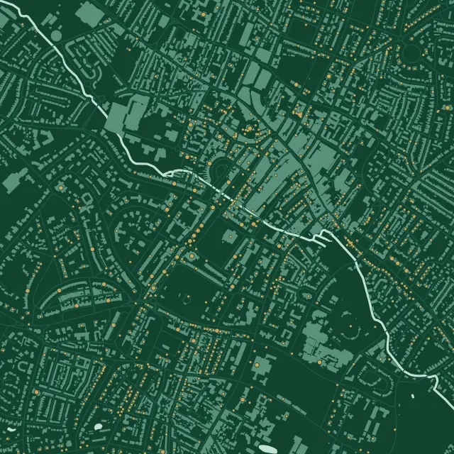
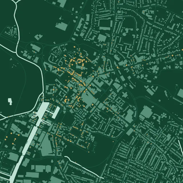
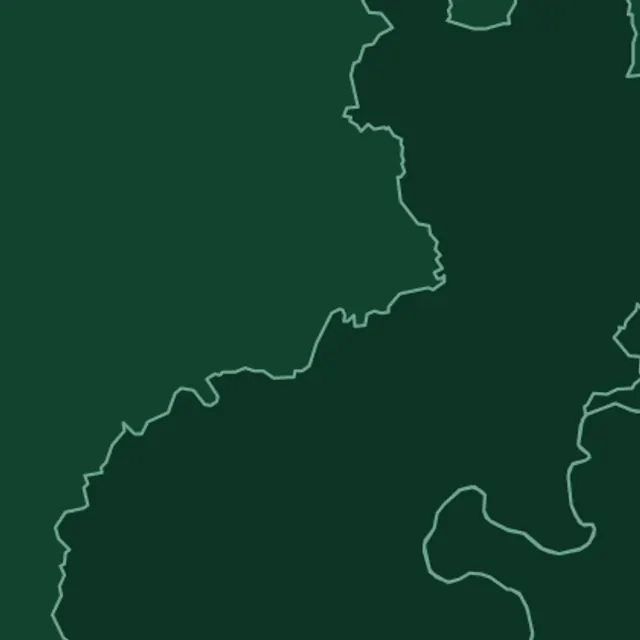
Air conditioning in Tewkesbury
Yes, though where the outdoor unit stands matters more here than almost anywhere we work. The town is a conservation area with 359 list entries in a 2 km square around the Cross, and the riverside and the Ham are in flood zone 3. Tewkesbury Borough Council decides, and we check your building and its flood risk before we quote.
At a glance
- Who decides
- Tewkesbury Borough Council.
- Conservation area
- Tewkesbury: designated in 1969, with an appraisal adopted in 2012. It takes in the Ham.
- Article 4
- One direction, from 1988, across the 1987 area: extensions, porches and painting.
359
entries on the National Heritage List in this 2 km square: 7 at Grade I, 42 at Grade II* and 310 at Grade II, among 1,868 buildings. One entry can cover a whole row.
Three streets meet at the Cross in a Y, with narrow, deep burgage plots behind them and alleys between. The ground is mudstone, so the oldest buildings are timber, many of them re-fronted in local red brick.
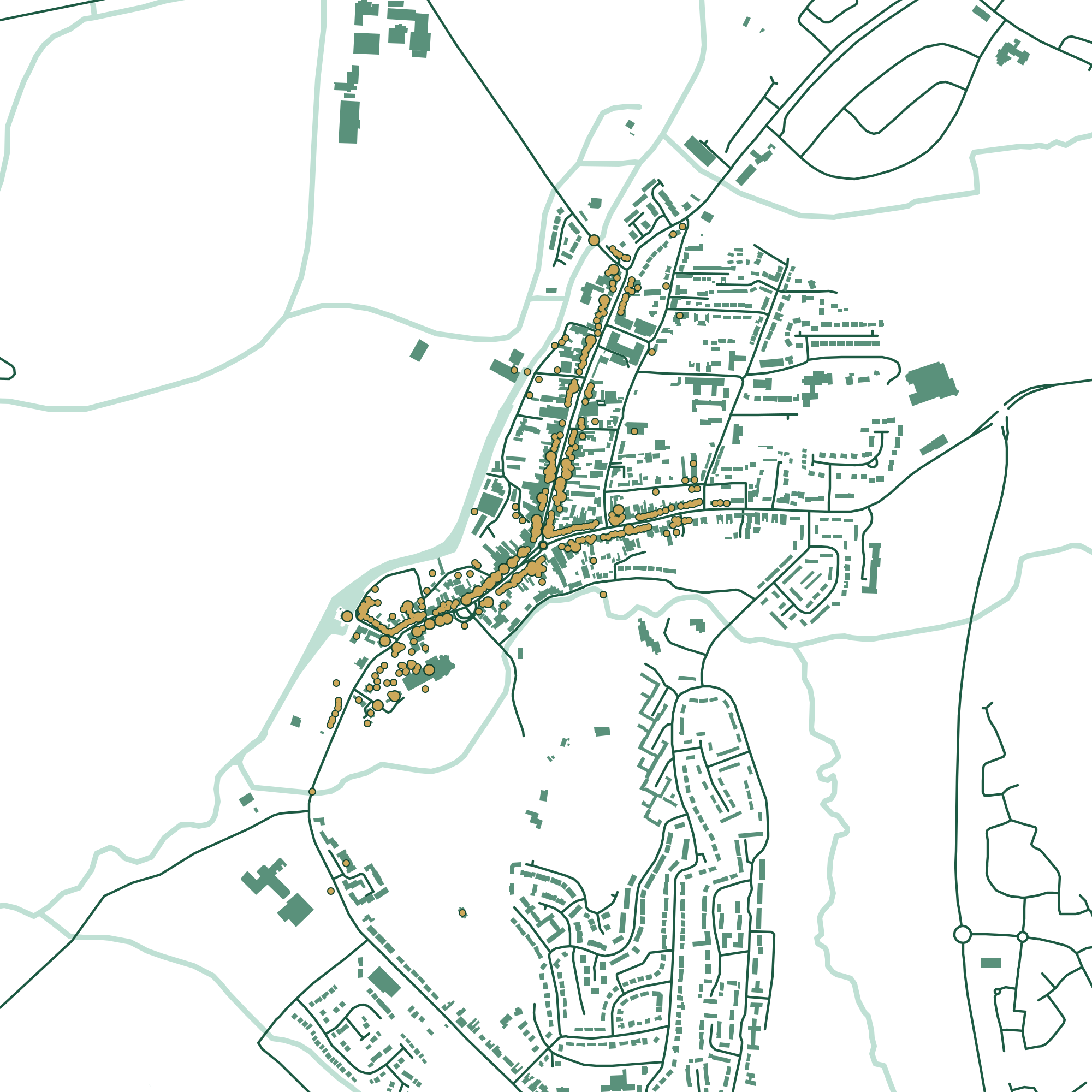
Press a number to find a building.
Founded in 1087 and consecrated in 1121, mainly in limestone ashlar. One of the most complete monastic churches to survive the Dissolution. List entry
A 15th or early 16th-century row built for the Abbey, each with a shop in front and a hall behind. Saved from demolition in the 1960s. List entry
A late 15th-century timber-framed house and an 18th-century brick coaching inn, running deep into its plot. List entry
A late 15th-century hall house, made a chapel about 1690: square-panel framing and plaster under tile. List entry
1788, enlarged about 1840 with cells and a fire station. Unusual here for being stone. List entry
Our count and drawing, 20 November 2026. Buildings, roads and water © OpenStreetMap contributors. Contains Historic England data © Historic England, Open Government Licence.
Timber behind brick
The conservation area appraisal of 2012 explains why so much of Tewkesbury is timber: the ground is mudstone, which made bricks and tiles, but timber was more readily to hand than stone. Many shops on the main streets are medieval frames re-fronted in brick in the 18th and 19th centuries, and some later fronts are planks made to look like framing. A wall here may not be what it seems, so we find the frame before anything is drilled.
Every plot is narrow and deep, reached from the back by an alley or a passage, many still paved in blue brick. That’s usually where an outdoor unit belongs, and how it gets there. The appraisal names satellite dishes in prominent places as a key issue; it doesn’t mention air conditioning, but a unit on a street front would raise the same objection.
The Article 4 direction
Made in 1987 and approved in 1988, it covers the whole conservation area as it was then, and removes the rights to enlarge a house, add a porch and paint the outside. It predates the national right for heat pumps by more than twenty years, so that right isn’t among them, and the appraisal itself says the direction needs extending and updating. Whether a bracket, a pipe hole or repainting around them needs permission is a question we put to the council.
If your house isn’t listed, the national right can apply in the conservation area: not on a wall or roof facing a road, and not nearer a road than the house. If it is listed, plan on listed building consent, inside as well as out. In October 2026 ministers said they were minded to replace Gloucestershire’s councils with a single one from April 2029. That isn’t final, and Tewkesbury Borough Council decides until something changes.
Where the rivers meet
The town grew on the land the Severn, the Avon, the Swilgate and the Carrant Brook left dry, and the appraisal says Barton Street was once thought inferior because its lower houses flooded more. In July 2007 over 1,800 homes and 300 businesses flooded across the borough, in places more than two metres deep, and over half the county’s homes were without mains water for up to twelve days.
On the Environment Agency’s flood map the Ham and the riverside are in flood zone 3, and the Royal Hop Pole and Mill Bank in zone 2, while the Cross, the Abbey and most of the medieval streets are outside both. The map leaves out surface water, which the Borough Plan says is a problem too, because the drains are tied to the rivers. We check your address on the live map before we choose where an outdoor unit stands.
Beyond the old town, Tewkesbury became a Garden Town in 2019, its bid for over 10,000 homes mainly around Ashchurch. The Borough Plan’s major employment sites are Tewkesbury Business Park and Ashchurch Business Park. More for businesses.
Your own building
Check it in three steps.
Almost everything above turns on two questions: is it listed, and is it in a conservation area? Both answers are public. Or leave it to us.
- 1
Is it listed?
Search Historic England’s National Heritage List by name or address. A listing covers the whole building, inside and out.
Search the List - 2
A conservation area, or an Article 4 direction?
The government’s planning data map shows both by postcode. It says its data may not yet be complete, so we check with the council as well.
Conservation areasArticle 4 directionsTewkesbury Conservation Area
- 3
Or leave it to us
We look both up before we quote, and tell you what they mean for where the unit can go.
See my price
How hot, how cold
We couldn’t find a long-term Met Office page for Tewkesbury. It lies in the vale between Cheltenham, about 12 km away, and Pershore, about 19 km, so here are both.
- 23.2°
- average July high at Cheltenham, 1991 to 2020
- 22.6°
- average July high at Pershore
- 37.0°
- at Pershore on 19 July 2022, the day of the UK’s record
The 2022 figure is from the US government’s NOAA daily summary of the station’s own reports, not a Met Office publication.
Questions
Asked in Tewkesbury
Is my house in a flood zone?
Much of the riverside and the Ham is, in zone 3. Check your address on the Environment Agency’s flood map, and remember it leaves out surface water. We look at both before we choose where an outdoor unit stands.
Does Tewkesbury’s Article 4 direction cover heat pumps?
No. It removes the rights to enlarge a house, add a porch and paint the outside, and it was made in 1987, long before the heat pump right existed. Fixings and paint around a unit are worth asking the council about.
Is Tewkesbury in the Cotswolds National Landscape?
The town isn’t. Some of the borough’s Cotswold villages, such as Snowshill and Stanton, are.
Sources
Buildings
- Abbey Church of St Mary, National Heritage List entry 1201159
- Abbey Lawn Cottages, 34 to 39 Church Street, National Heritage List entry 1201208
- Royal Hop Pole Hotel, National Heritage List entry 1205936
- Old Baptist Chapel, National Heritage List entry 1207425
- Town Hall, 18 High Street, National Heritage List entry 1206399
Planning and the place
- Tewkesbury Borough Council: Tewkesbury Conservation Area Appraisal, 2012
- Tewkesbury Article 4 direction, 1987 and 1988
- Tewkesbury Borough Council: conservation areas and Article 4 directions
- Tewkesbury Borough Plan 2011 to 2031
- Tewkesbury Borough Council: flooding
- Planning data: Tewkesbury Conservation Area
- Environment Agency: Flood map for planning
- Part 14, Class G, General Permitted Development Order 2015
- Government letter to Gloucestershire council leaders, 29 October 2026
Last checked 20 November 2026. This is a plain summary for people planning a job, not legal advice. Rules can apply differently to a specific address.